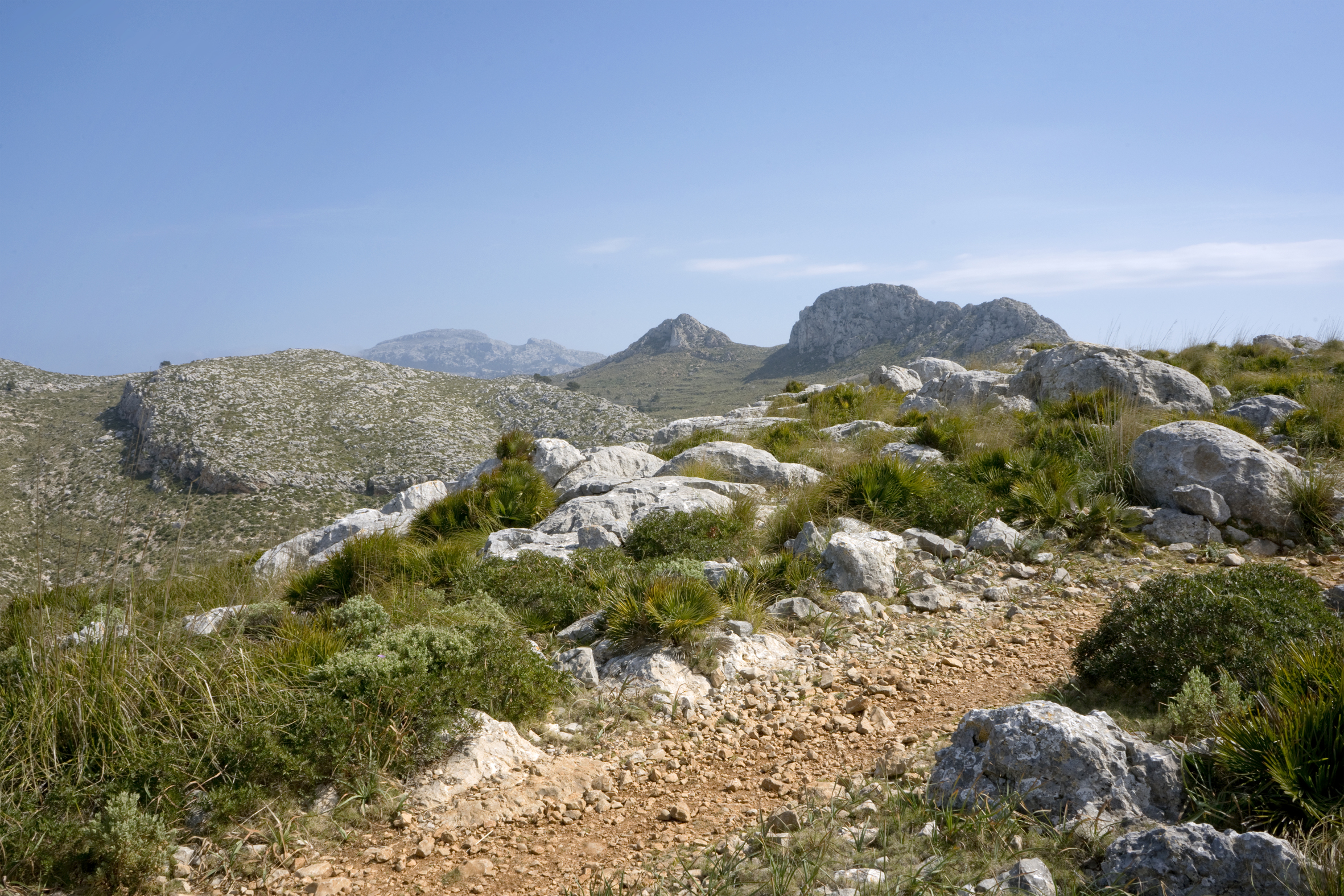
Pathway in project and not signposted
Consell de Mallorca is not responsible for the potential limitations of the path or other problems which could arise in sections which are in the planning phase and not signalled.
Likewise, Consell de Mallorca is not responsible for the information which may be provided by other guides, publications or Websites.
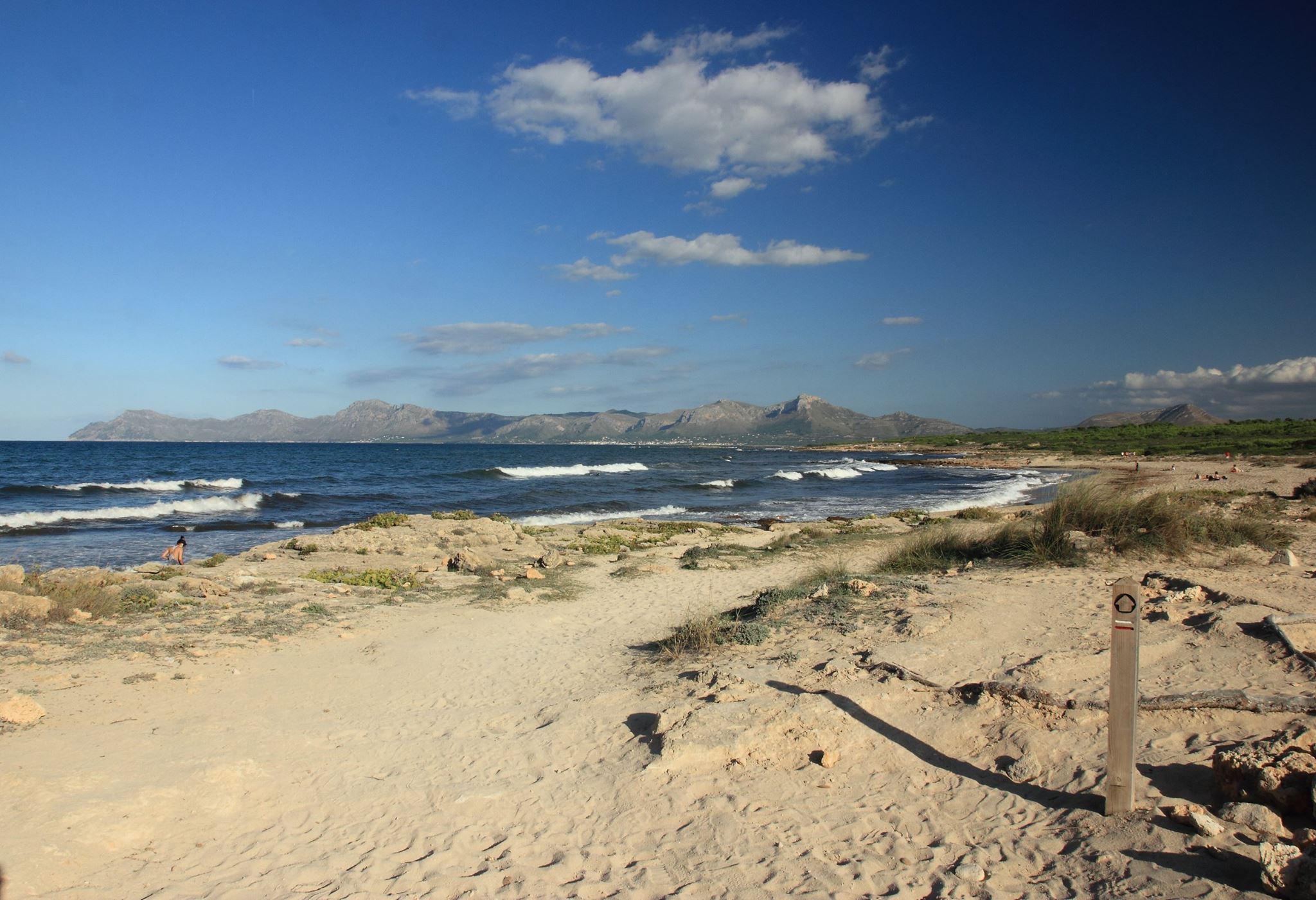
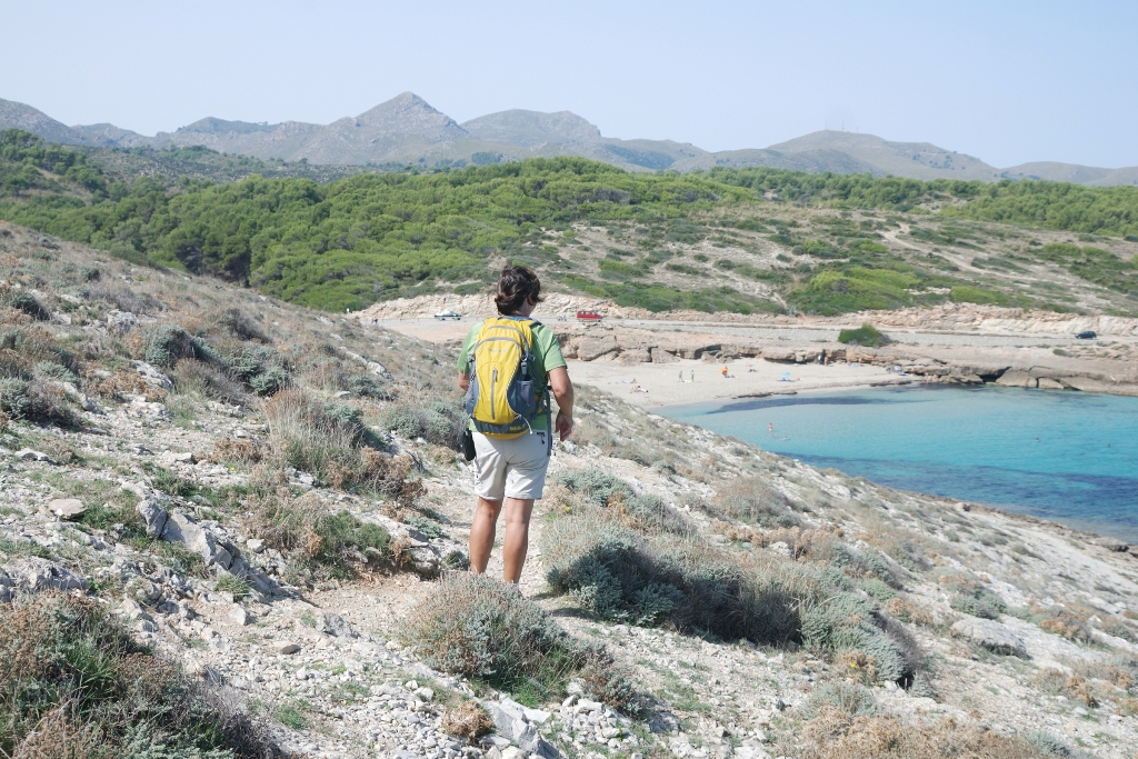
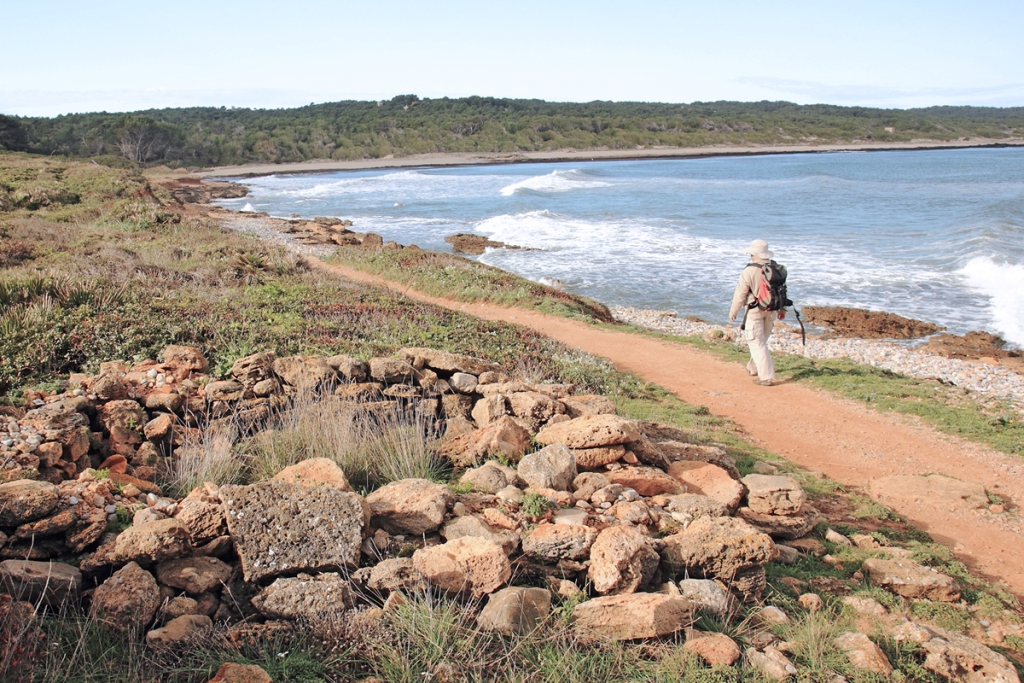
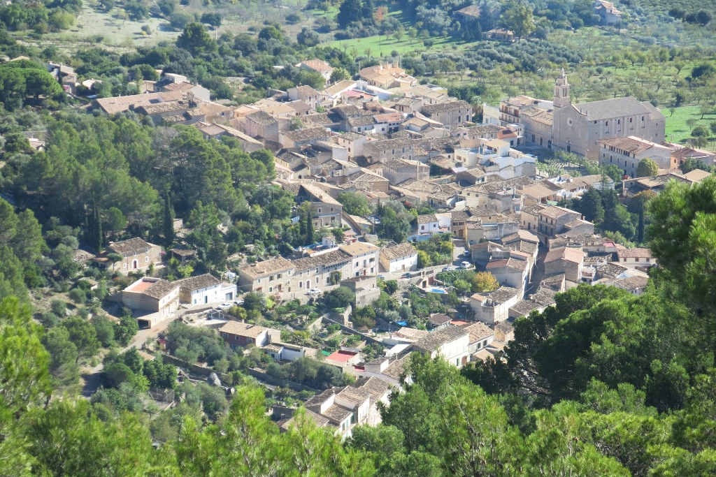
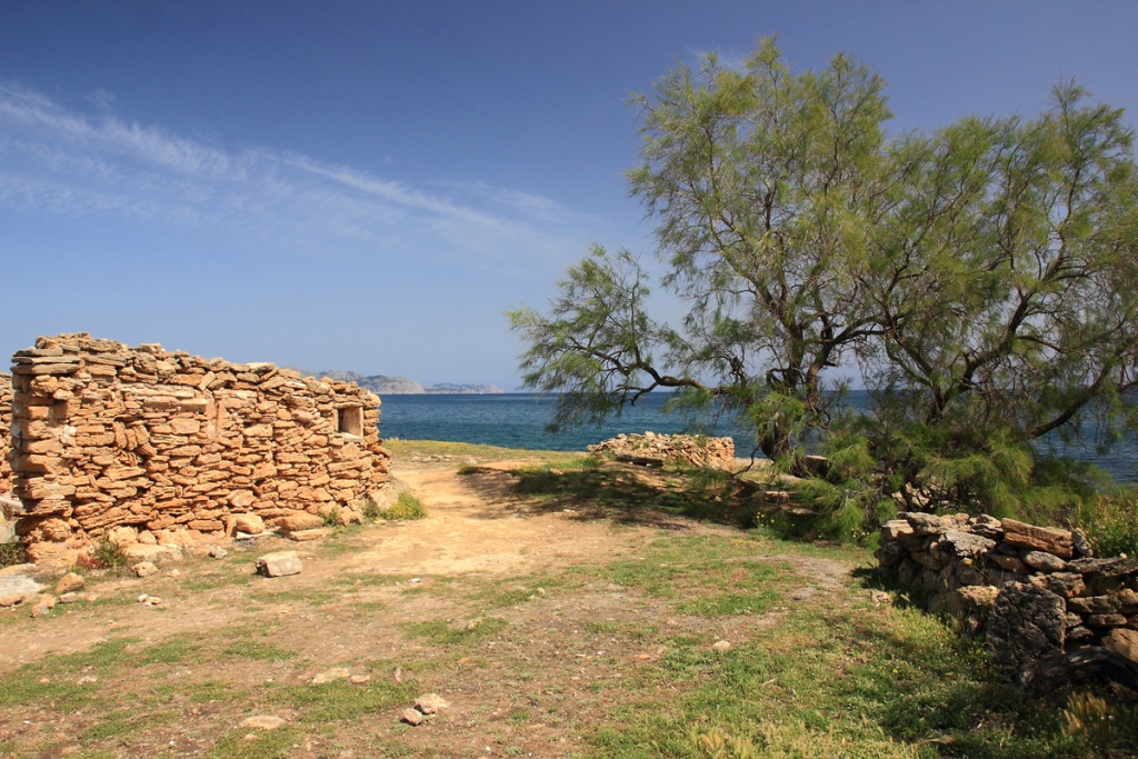
The idea of the Ruta Artà - Lluc GR 222 is to link up the mountains of Llevant and its Nature Reserve in the east with the central area of the Serra de Tramuntana mountain range in Majorca, officially a World Heritage Site since 2011. It affords the hiker a huge variety of landscapes, some of which are quite exceptional, such as the almost completely unspoilt coastline of the Llevant peninsula, the dunes of Alcúdia Bay, the thick maquis scrublands around Santa Margalida, the farmlands of the Pla de Mallorca plain and the terraced mountain slopes of Caimari.
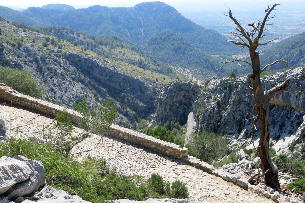
The Ruta Artà - Lluc GR 222 is suitable for one and all, and starts off by wandering through the Artà Mountains and their gentle slopes, reaching its highest point of 383 metres at the Campament des Soldats. Further on after skirting the coast, it takes the walker into the Pla de Mallorca, with few changes in altitude, until it reaches the foothills of the Serra de Tramuntana, where it climbs up and over the Coll de sa Batalla peak (578 metres), the last major mountain ridge on the trail.
In addition to its invaluable natural surroundings, along the route the hiker will discover, dry stone walls, mills, springs, waterwheels and a significant architectural, ethnological and historical heritage, with some quite outstanding spots, such as the tower at the Cala Matzocs cove, Capdepera Castle, the hermitage at Betlem and the sanctuary of Lluc, the final point of the route.
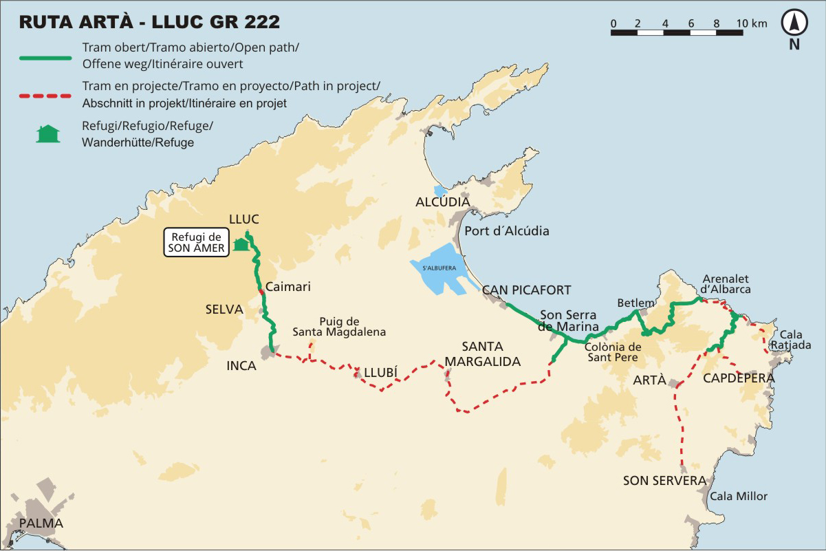
At present, 54.7 kilometres of the Route Artà - Lluc GR 222 are open and signposted. 47,9 km of these are part of the main itinerary and 6.8 are part of a variant.
The hiker can walk the following parts of the trail: stage 1, between Coll des Racó and Cala Estreta; stage 2, from the beach of S’Arenalet d’Albarca to the built up area at Betlem; stage 3, the section that runs from Betlem to Son Serra de Marina possessió or farmstate; the sections of stage 5 between Inca and Caimari, and Caimari and Lluc Sanctuary; as well as Variant from Son Serra de Marina to Can Picafort.
Once finished, the Ruta Artà-Lluc GR 222 will offer 134 walkable kilometres, split up into five stages and five variants.
You can check our Map of Mallorca of hiking routes to know location of the open stages and variants of the Artà-Lluc Route.

